How long will colder spell last in france and what to expect this week
How long will colder spell last in france and what to expect this week"
- Select a language for the TTS:
- UK English Female
- UK English Male
- US English Female
- US English Male
- Australian Female
- Australian Male
- Language selected: (auto detect) - EN
Play all audios:
WE INCLUDE THE OFFICIAL DAY-BY-DAY FORECASTS UP TO AND INCLUDING SATURDAY JUNE 15 DO YOU RECEIVE THE CONNEXION'S FREE WEEKDAY NEWSLETTER? Sign up here Temperatures are set to fall
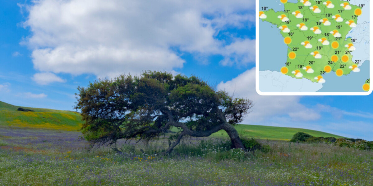
across France this week starting from today (June 10) as the jet stream pushes cold but dry air over the country. This is then expected to give way to a spell of wet weather from June 14.
The cooler weather is due to an Atlantic anticyclone, with warm air from the jet stream moving north and displacing cold air from the arctic and British isles to the south, according to La
Chaine Météo, which is owned by the publishers of Le Figaro. However, the cold air will be dry despite last week’s forecast of rain from Wednesday (June 12). The French state weather service
Météo France now forecasts that the wet spell will begin on Friday (June 14). Read more: Mysterious aquatic phenomenon in Dordogne river re-emerges after rainiest May since 1981 The
average temperatures this week will fall by up to 10C in the morning, particularly in mountain areas. Afternoon temperatures will struggle to climb over 20C in most parts of France. From
Wednesday, a strong northerly Mistral wind will blow along the Rhone valley. Météo France expects the weather to return to seasonal norms from the week of June 24. June is expected to be the
first month in over two years with temperatures below the seasonal average. Click on the arrows to scroll through the images to see the weather forecasts for each day this week:
